
The latest airborne laser scanning systems by RIEGL.
RIEGL released two new products in their airborne laser scanner series and a new lightweight airborne laser scanner designed for use on UAS/UAV/RPAS and small manned airplanes or helicopters.
RIEGL has always been committed to delivering the highest performance, quality, reliability, and longevity of all its products and services. In this article, we will look at three new products recently manufactured by RIEGL:
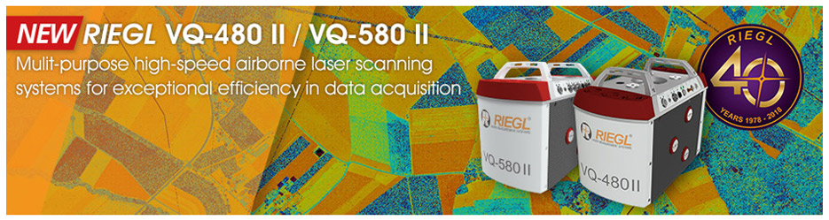
- TheRIEGL VQ-480 II and theRIEGLVQ-580 II. Successors of the previous versions of the RIEGL VQ-480 and the RIEGLVQ-580, both part of RIEGL airborne laser scanner series, the new RIEGL VQ-480 II and the RIEGLVQ-580 II come with a completely new design that successfully takes up the already proven qualities and leads them to a new standard of performance.
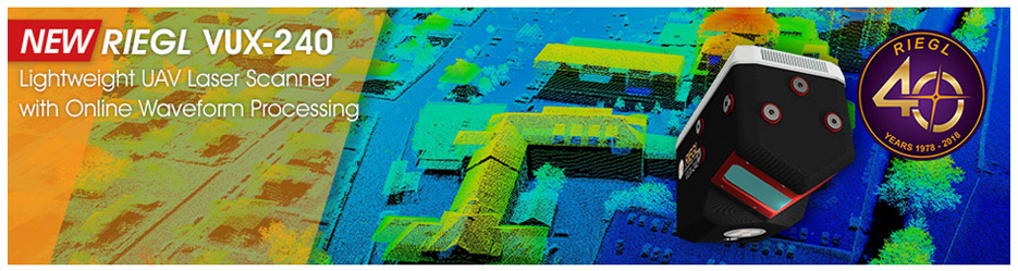
- The RIEGL VUX-240, a lightweight airborne laser scanner, specially designed for use on UAS/UAV/RPAS and small manned airplanes or helicopters. With its wide field of view of 75 degrees and an extremely fast data acquisition rate of up to 1.8 MHz, the instrument is perfectly suited for high point density corridor mapping applications.
RIEGL models VQ-480 II and VQ-580 II
In their new versions, thanks to a sophisticated design it was possible to further reduce the overall weight to approximately 10 kg (The VQ-480 II weighs 10,6Kg while the VQ-580 II weighs only 9,9Kg).
Thus, the scanners are well suited for the use in manned aircrafts like helicopters, small fixed-wing aircrafts, or ultra-light planes but also in unmanned aircrafts. They can seamlessly be integrated into stabilized platforms, e.g. standard gyro mounts and into small hatches.
Based on RIEGL‘s proven Waveform-LiDAR technology, the scanner provides highly accurate point clouds, excellent vertical target resolution, calibrated reflectance readings, and pulse shape deviation for unsurpassed information content on each single measurement. With a measurement rate of up to 1,250,000 measurements/second and an extremely wide field of view of 75°, these scanners are the first choice for airborne surveying applications like corridor mapping, city modeling, and agriculture and forestry. A compact design makes them ready for integration in UAVs with higher payload capacity.
These scanners have high laser pulse repetition rate up to 2MHz and perfectly linear and parallel scan lines. They have interfaces for up to 5 optional cameras and mechanical and electrical interface for IMU/GNSS integration.
An easy to remove CFast® storage card and an integrated Solid State Disk and/or the option for streaming the scan data via LAN TCP/IP interface is provided for data transfer and storage.
Finally, integration and compatibility with other RIEGL ALS systems and software packages is assured.
With a Laser PRR of 150 KHz, depending on the target reflectance (20%-60%):
- the maximum operating flight altitude for the VQ-480 II is somewhere between 1200m and 1850m, and the measuring range is between 1600m and 2500m.
- the maximum operating flight altitude for the VQ-580 II is somewhere between 1350m and 2100m, and the measuring range is between 1850m and 2850m.
In the case of the VQ-580 II, the laser wavelength makes it especially suited for measurements on ice and snow.
When surveying with the VQ-480 II at 1,200,000 pulses/sec, with laser power level 100%, at an altitude of 518m AGL, with a speed of 120 knots, the scanner provides a point density ~ 15,28 pts/m2.
When it comes to the VQ-580 II, at 1,200,000 pulses/sec, with laser power level 100%, at an altitude of 700m AGL, with a speed of 60 knots, the scanner provides a point density ~ 22,58 pts/m2.
Both models are suited for the following applications:
- Corridor Mapping
- Agriculture & Forestry
- City Modelling
- Moist Grassland Mapping
- In the case of the VQ-580 II, the laser wavelength makes it especially suited for measurements on ice and snow.
RIEGLVUX-240
The VUX-240 is a lightweight airborne laser scanner, specially designed for use on UAS/UAV/RPAS. It makes use of RIEGL‘s unique Waveform-LiDAR technology, allowing echo digitization and online waveform processing. Multi-target resolution is the basis for penetrating even dense foliage. The system itself weighs 3.8 kg, and when equipped of IMU/GNSS, it only weighs 4,5 Kg. A continuously rotating polygon mirror wheel enables scan speeds of up to 400 lines per second, for efficiently covering large areas when operated from fast UAVs or aircrafts.
With a laser PRR of 150 KHz, depending on the target reflectance (20%-60%), the maximum operating flight altitude is somewhere between 900m and 1400m, and the measuring range is between 1200m and 1900m.
When surveying at 1,800,000 pulses/sec, with laser power level 100%, at an altitude of 244m AGL, with a speed of 60 knots, the scanner provides a point density ~ 120 pts/m2.
While surveying at 300,000 pulses/sec, with laser power level 100%, at an altitude of 610m AGL, with a speed of 60 knots, the scanner provides a point density ~ 9 pts/m2.
The scanner provides an internal data storage capacity of 1 TB and is equipped with interfaces for an external IMU/GNSS system as well as to control up to four external cameras. WLAN enables direct access to the laser scanner for changing configuration settings and checking the system status.
Common application areas are:
- corridor mapping: power line, railway track and pipeline inspection
- topography in open-cast mining
- surveying of urban environments
- archaeology and cultural heritage documentation
- agriculture & forestry
Summary
RIEGL new scanners are the first choice for airborne surveying applications like corridor mapping, city modelling, and agriculture and forestry. A compact design makes them ready for integration in UAVs with higher payload capacity:
- TheRIEGL VQ-480 IIand theRIEGLVQ-580 II, both part of RIEGLairborne laser scanner series come with a completely new design and a new standard of performance.
- TheRIEGL VUX-240, a lightweight airborne laser scanner, especially designed for use on UAS/UAV/RPAS and small manned aeroplanes or helicopters, is perfectly suited for high point density corridor mapping applications.